|


| |
CESI specializes in the following:
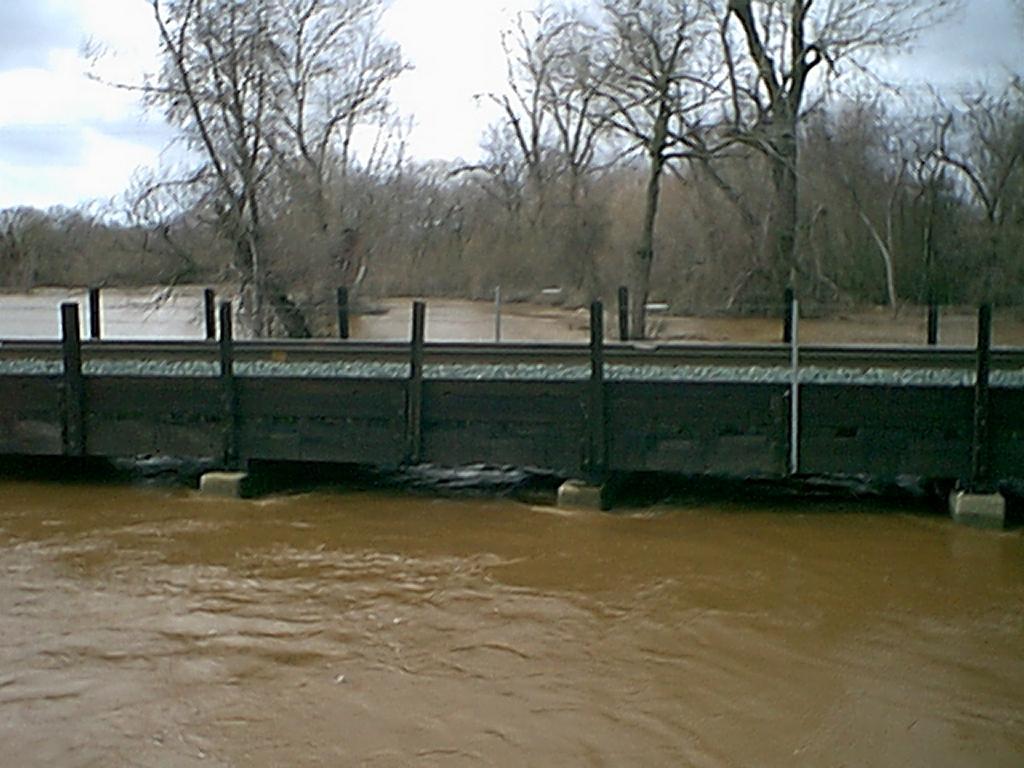
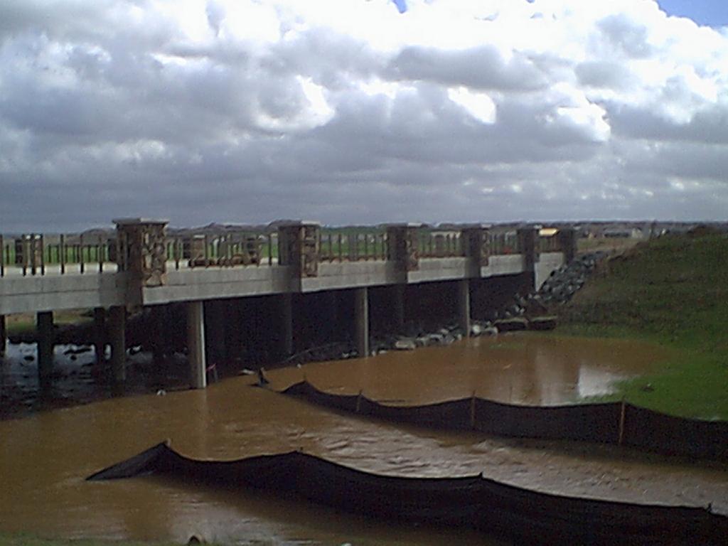
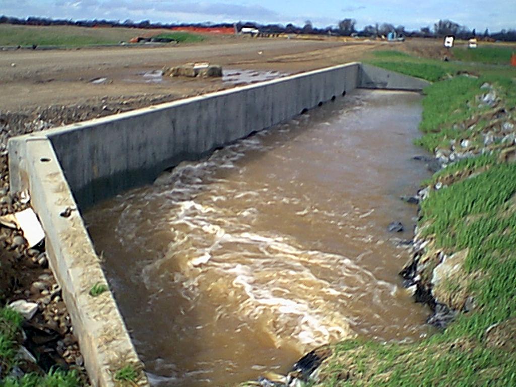
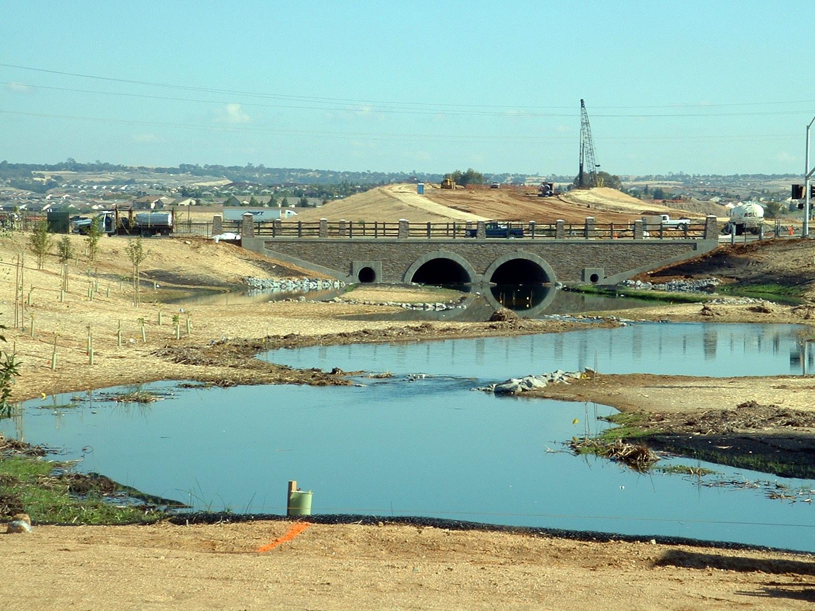
Storm Drainage/Flood Control Design
- Storm Drains
- Flood Control/Channels
- Detention Retention Basins
- Levees
- Permitting
Drainage Policy
- Design Standards
- Watershed Management
Storm Drainage/Flood Control Master Planning
- Infrastructure Plans
- Hydrologic/Hydraulic Analysis
- Impact Fee Studies
Recent & Current CESI Projects
Pleasant Grove Watershed Mitigation Fee - City of
Roseville
Civil Engineering Solutions, Inc. (CESI) was contracted by the City of
Roseville to provide updated impact analysis and fee basis for the Pleasant
Grove Watershed Volumetric Impact. CESI revised the impact analysis for the
development to-date, and planned developments within the watershed, and
determined the estimated total impacts. Additionally, impacts were determined
for a variety of factors such as land use type and soils conditions, so that
options in fee assessment could be presented. The costs of the proposed
volumetric storage facility at the Reason’s Farms property were compared to the
amounts collected to-date, and fees were determined such that the ultimate costs
of the facility would be paid for by the total build-out collections of the fee.
The fee update involved;
- Identify all development activities which occurred
subsequent to the initiation of the fee program
- Determine volumetric impacts for the previous and
planned future developments.
- Determine an updated costs basis for the fee
structure.
- Determine an updated Fee assessment program.
- Update the fee assessment spread as quarterly
development reports were prepared by the City.
- Prepare report document describing the project
activities and supporting the proposed fee changes.
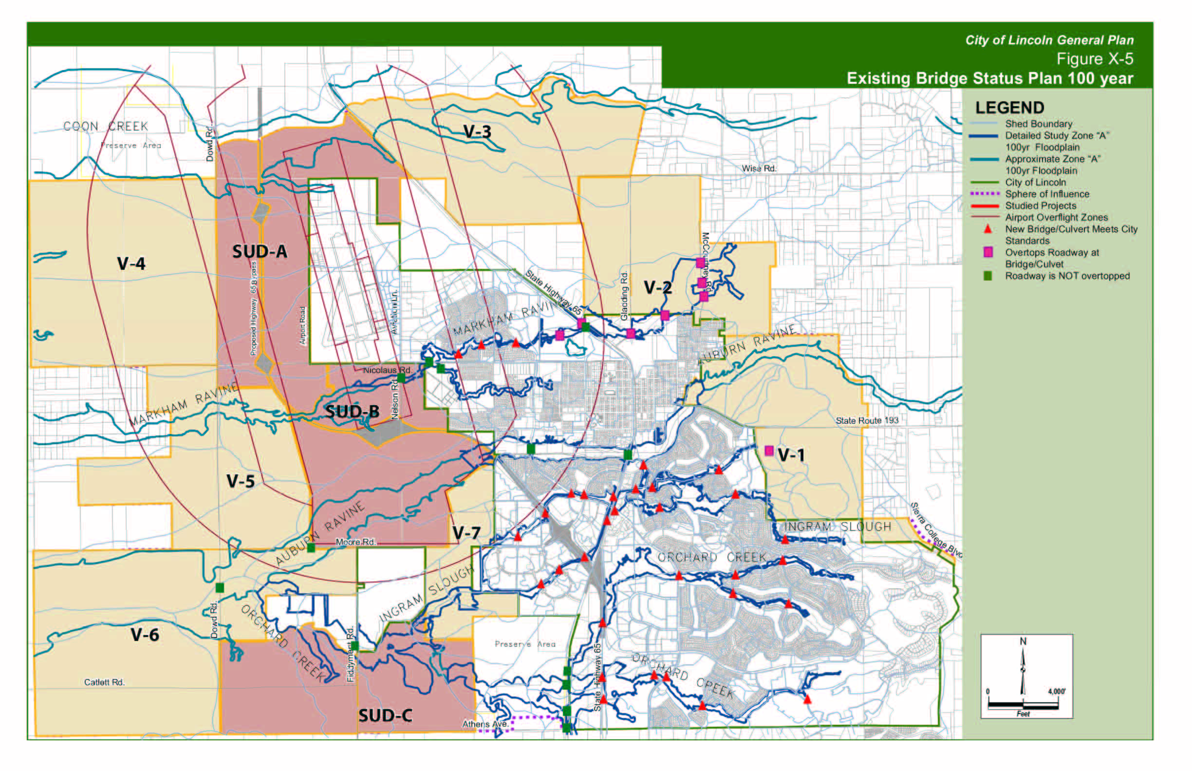
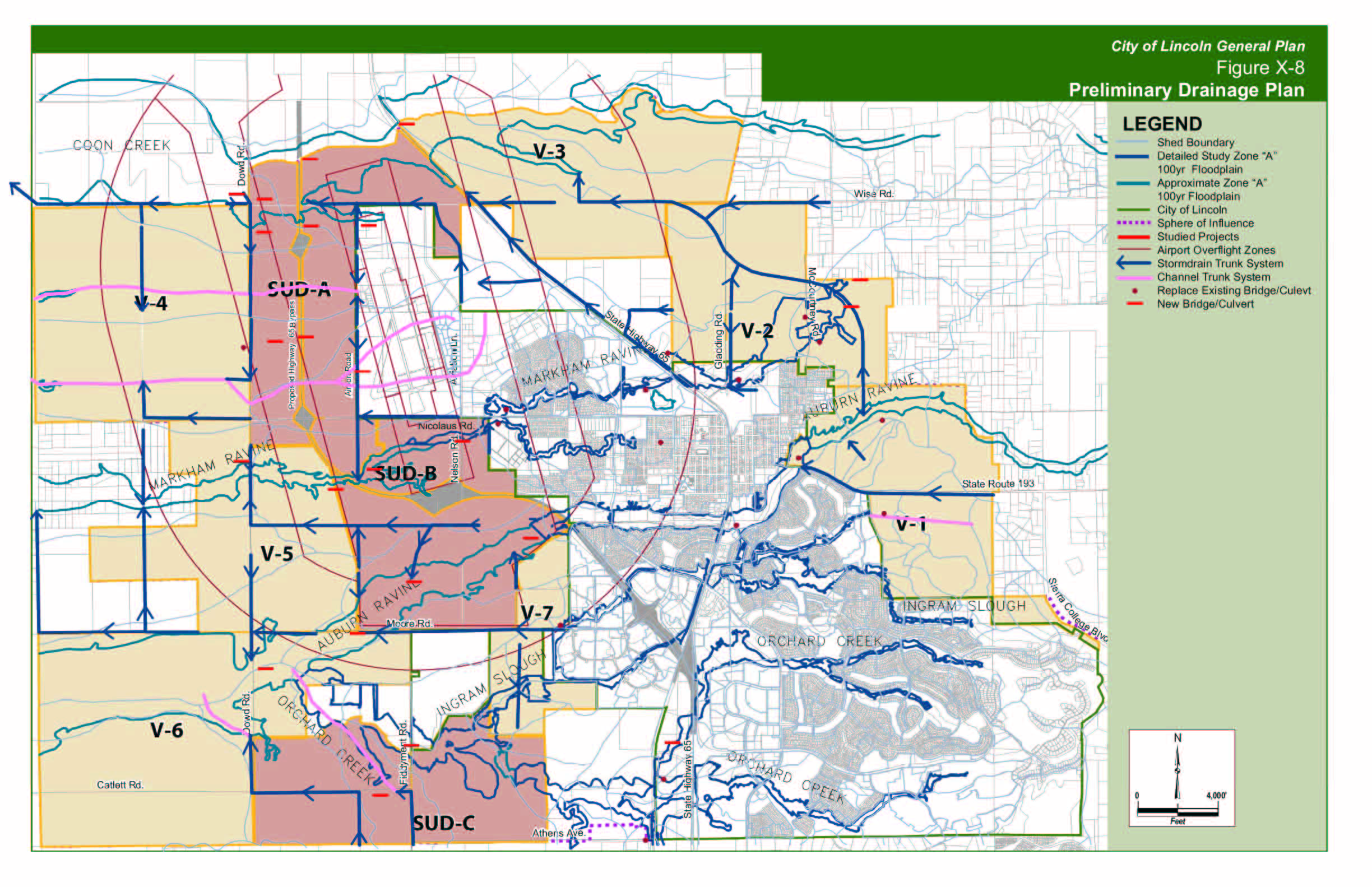
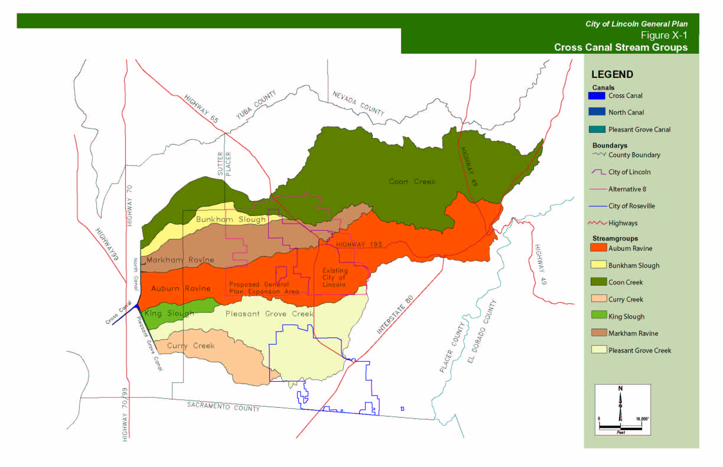
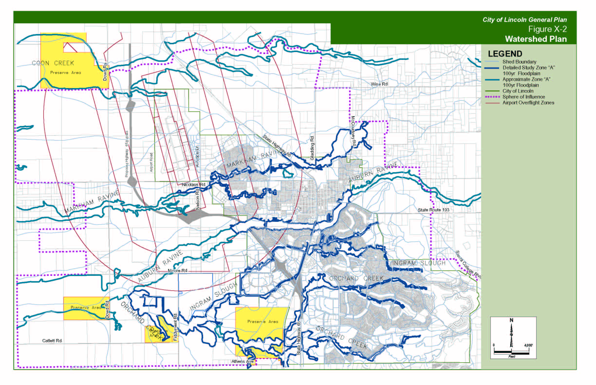
"E" Street Infrastructure Project -
City of Lincoln
South Lincoln - Master
Drainage Plan SLMP-AIO-CLOMR
Lincoln Crossing
Tehama - (Sun City, California) Master
Drainage Plan
 |
 |
 |
|
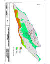
Analysis for the
watershed hydrology and stream hydraulics, evaluation of project impacts
to peak flow rates and recommended mitigation, streambed stability
analysis, and project storm water quality guidelines.
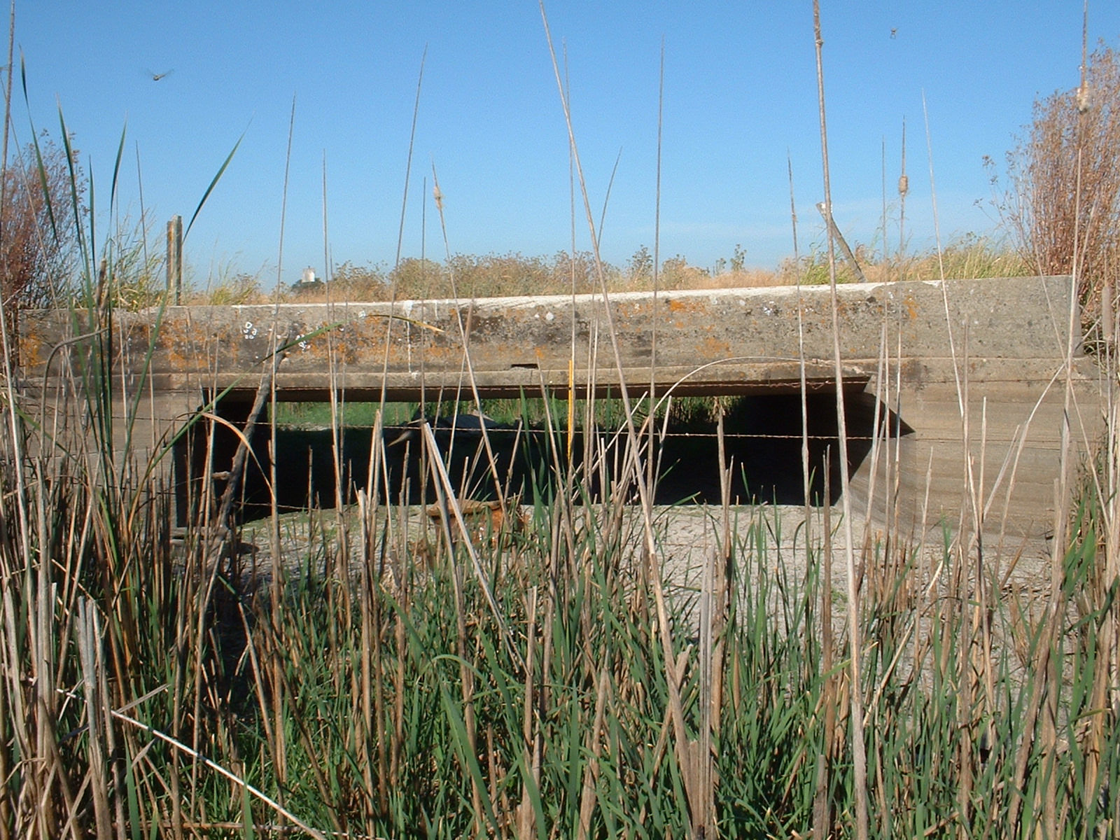
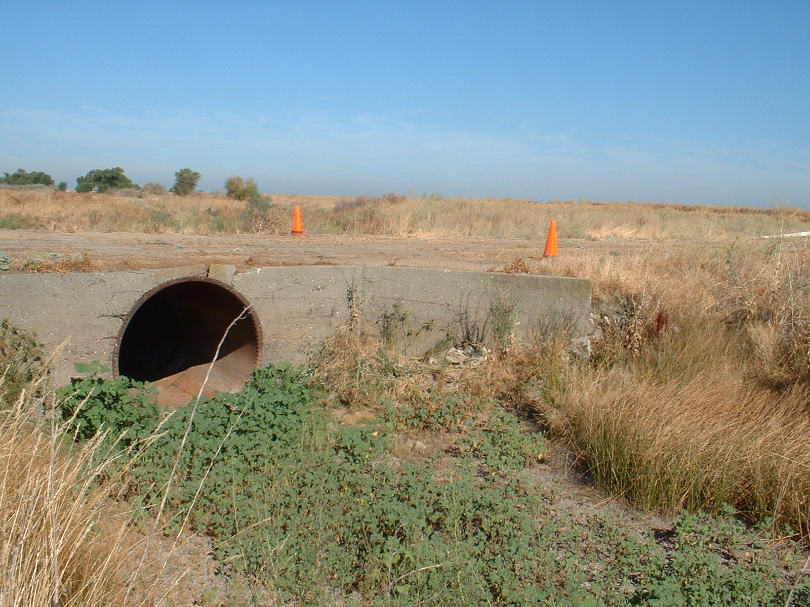
Performed several
field visits to photo document, and measure key hydraulics features
which could not be determined from the research information.
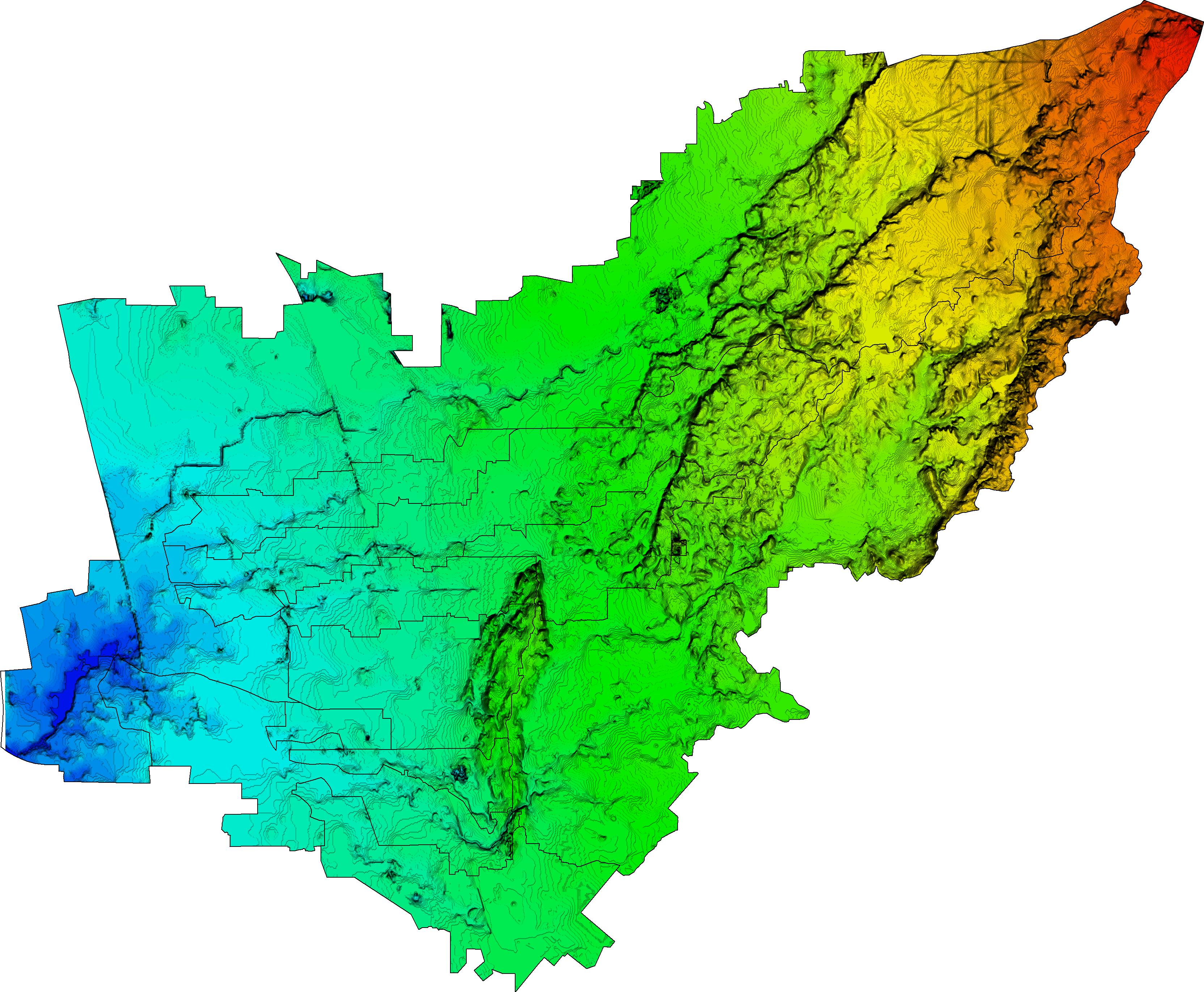
The project is
located along a ridge, west of Interstate 5, between the Cities of Red
Bluff and Cottonwood and is tributary to three separate creek systems
which ultimately discharge to Cottonwood Creek and the Sacramento
River.
|
_small.jpg)
Erosivity Overlay |
_small.jpg)
Hydrologic Soils Type |
_small.jpg)
Watershed Schematic |
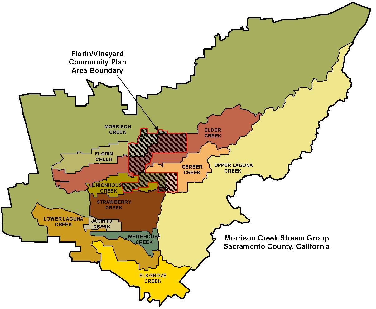
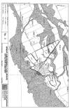
Florin Vineyard Community Plan
| Provided data and analysis for preparation of a master
drainage plan for a portion of the Morrison Creek stream group in South
Sacramento County. Analysis of proposed land use impacts and
mitigation using HEC-1 and HEC-RAS and XP-SWMM. |
| |

3-D Topography |
Project Boundary Map |
|
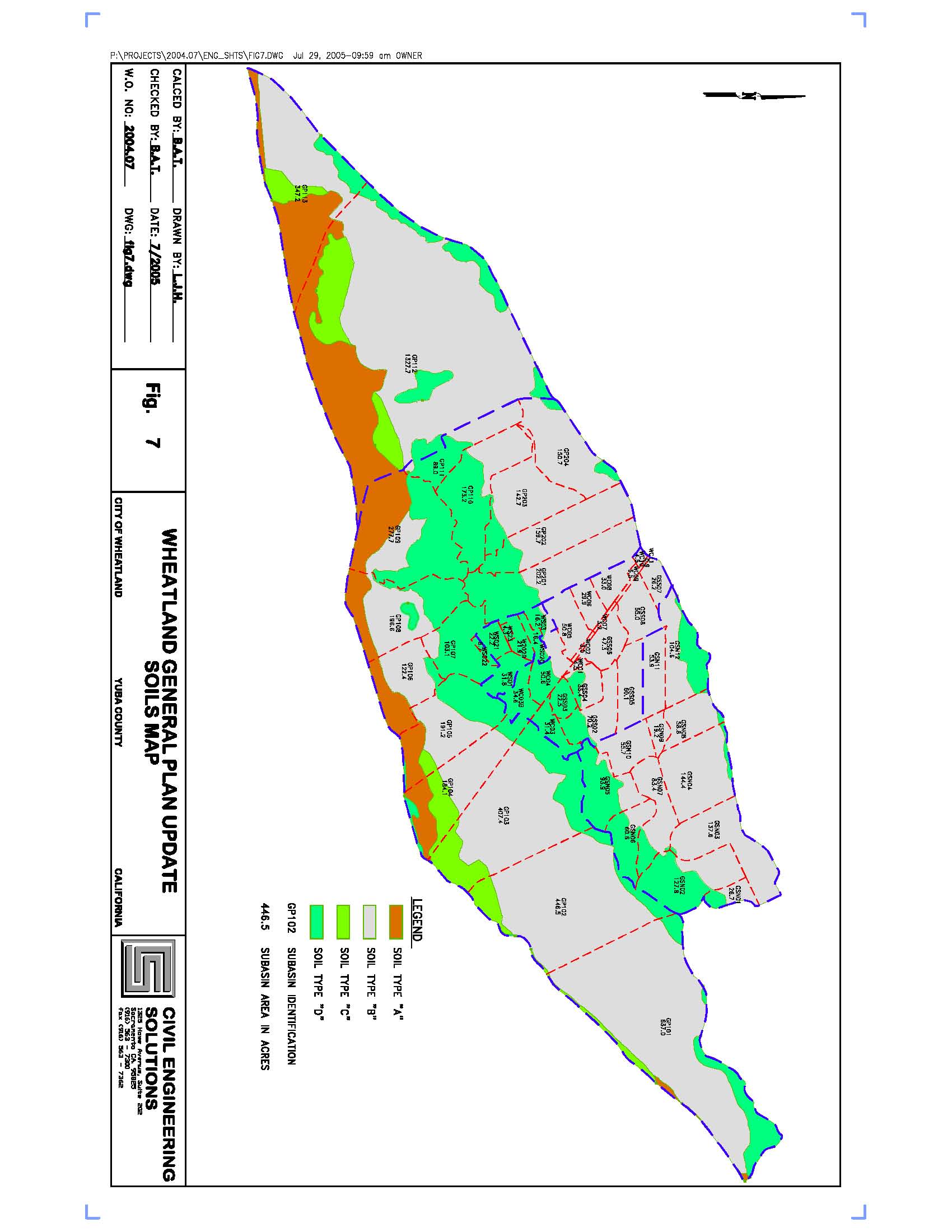
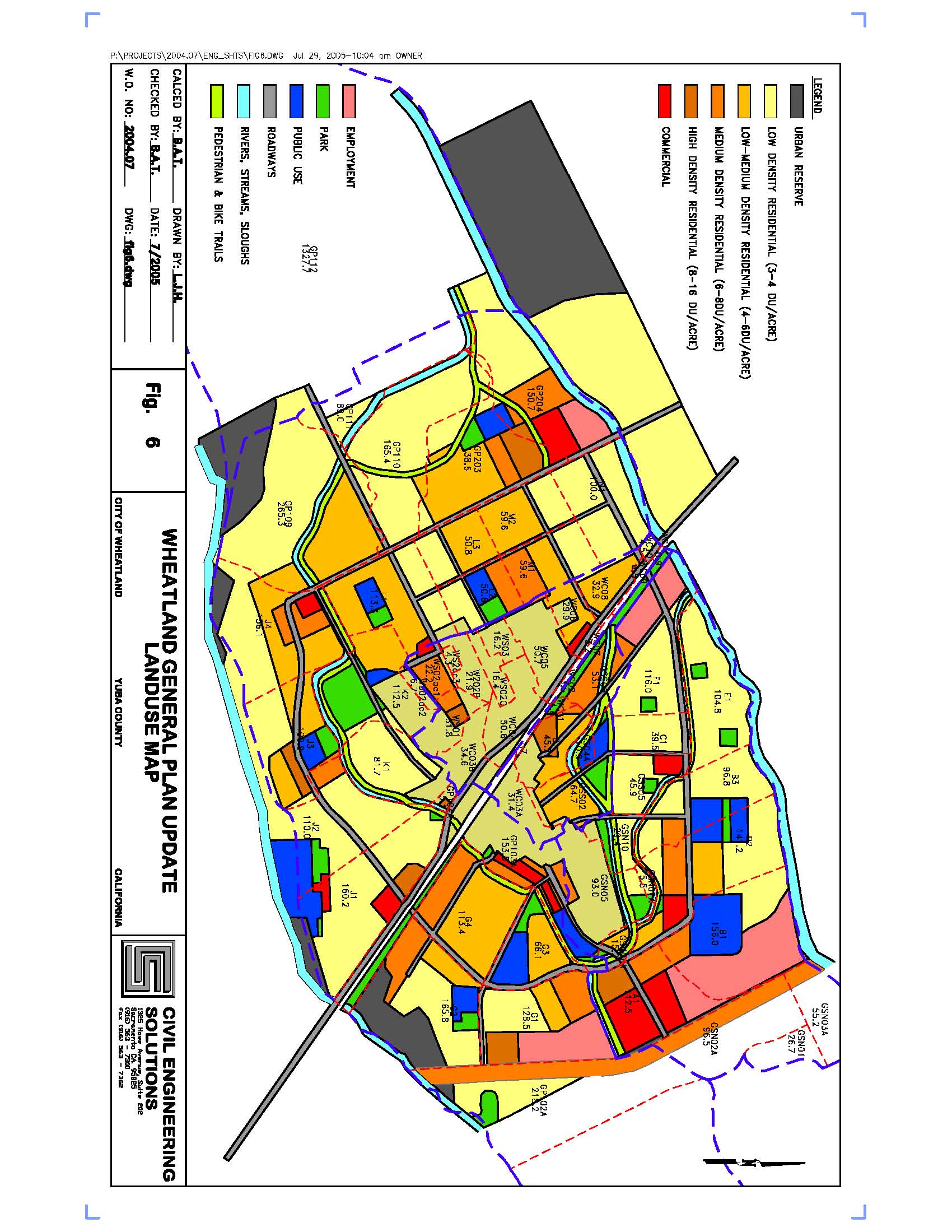
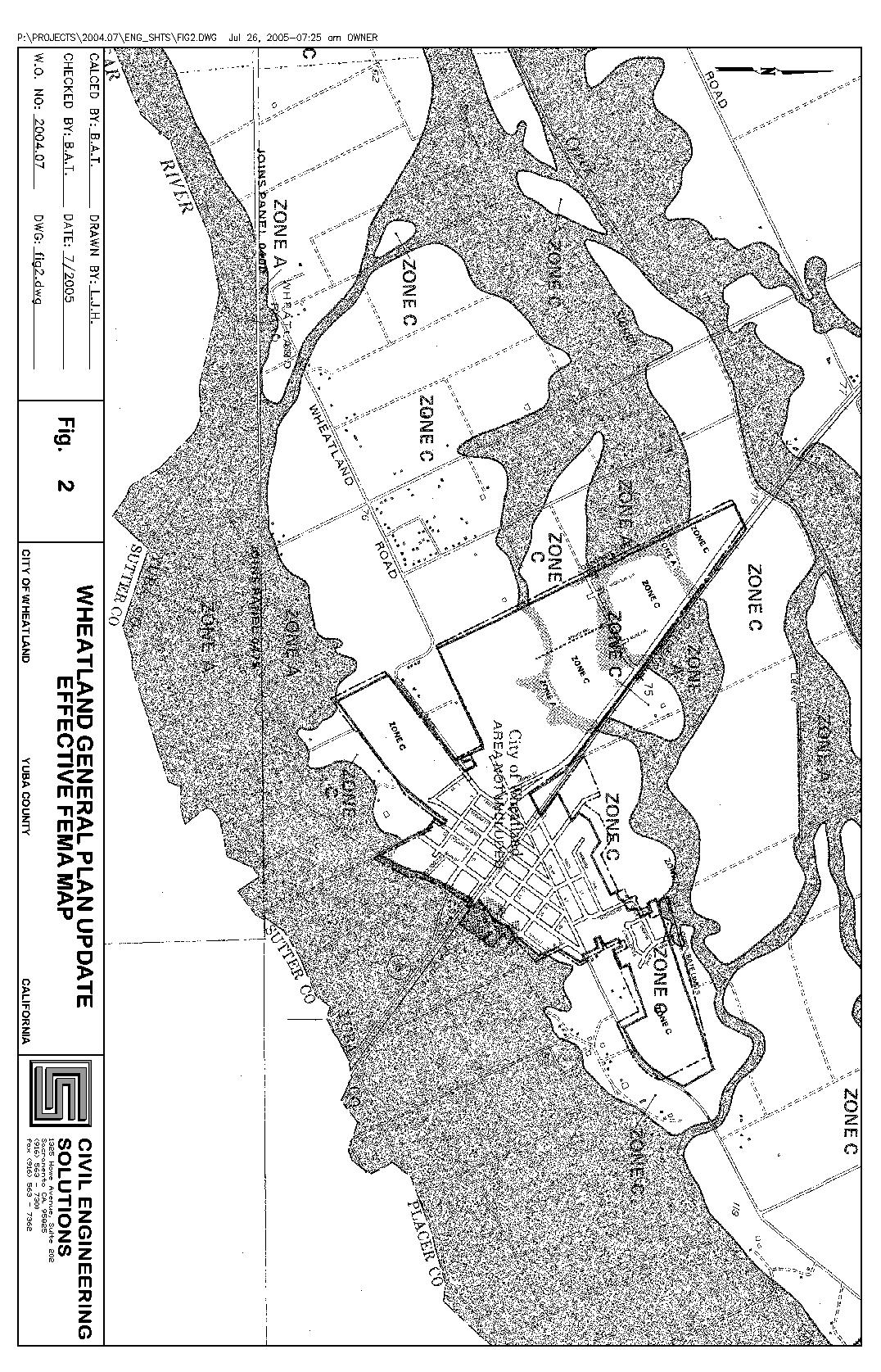
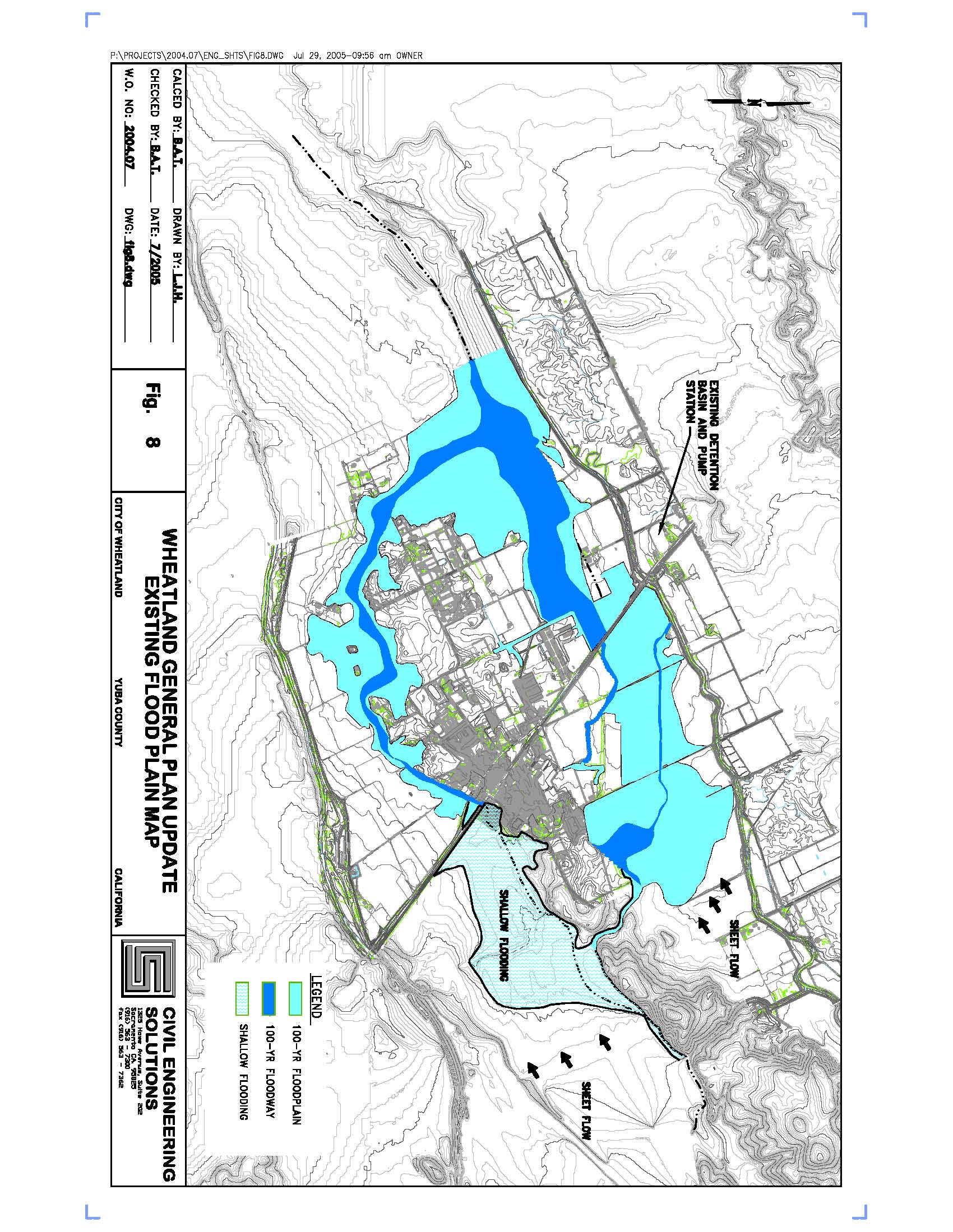
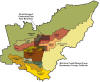
City of Wheatland General Plan Update
| Prepared a background report and assessment
of proposed and existing City drainage facilities. CESI recommended a
scope of new drainage improvements, City wide. Provided technical
support for drainage analysis for various drainage alternatives and
hydrologic analysis of pre and post development conditions.
This project is ongoing.
|
Soils Map |

Land Use Map |
Effective FEMA Map |
Existing Floodplain Map |
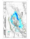
Regional University Specific Plan
|
The proposed Regional University
Specific Plan (RUSP) is wholly contained within the Curry Creek
watershed that ultimately drains to the Natomas Cross Canal discharge to
the Sacramento River, west of the project. The RUSP includes roughly
1130 acres of mixed land use.
The hydrologic analysis (HEC-1) included
with this project provides analysis of the 16.6 square mile of
tributaries to Curry Creek, upstream of the project. All calculations
and analysis included in this study were prepared in accordance with the
“Preliminary Plan” requirements of the “Stormwater Management Manual
(SWMM)” dated February 1994 and the SWMM Addendum 1, dated October
1997. The existing condition HEC-1 model is based on the currently
accepted models of Curry Creek that includes the proposed development
within the West Park and Placer Vineyards developments. The project
HEC-1 watershed files were generated using the Placer County
Pre-processor utility and the PDP precipitation generation software.
Hydrologic and hydraulic analysis’ were
also performed for the proposed phasing options of the project to show
that adequate mitigation would be provided throughout the project
construction and sequencing.
|

Brewer Road North Fork |
Curry Creek-Upstream Face |

Curry Creek Downstream |
|


.jpg)
.jpg)
.jpg)